iOS · iPad · Apple Watch · App Store · rankan.app
RANKAN
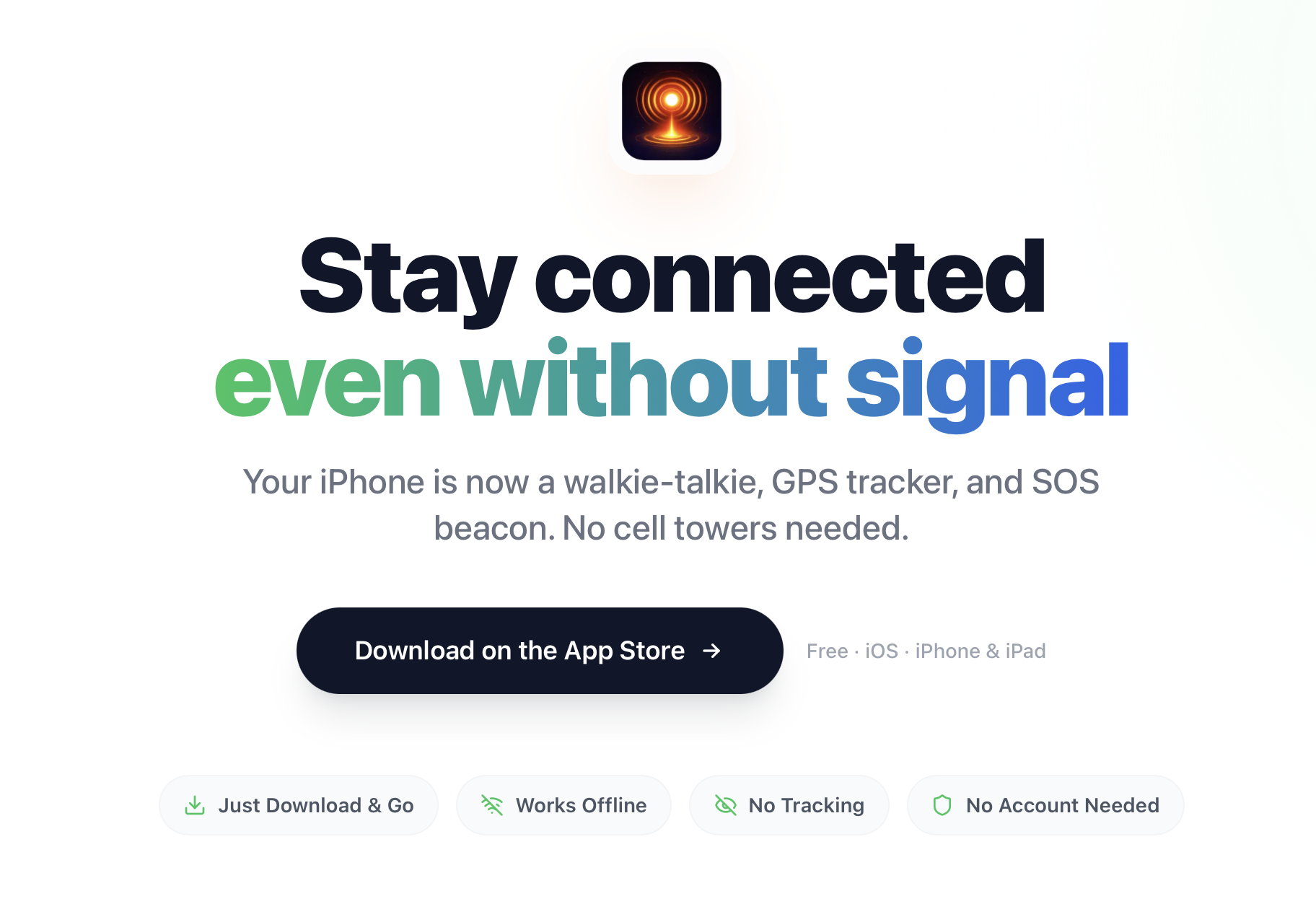
Off-grid walkie-talkie + GPS for your group. Free. No subscription. No account.
A free off-grid walkie-talkie and group GPS tracker — no cell service, no WiFi, no subscriptions, no account. Just Bluetooth mesh between your phones. Underneath the consumer-friendly hiking app lives a full SAR-grade incident command system.
- Swift
- SwiftUI
- MultipeerConnectivity
- CoreLocation
- Opus codec (voice)
- watchOS
- Live Activities
- Metal Shaders
Origin
How it started
Last year on a trail with no signal, a group got separated for 45 minutes. Dedicated radios are great but nobody owns them. Everyone owns a phone. RANKAN turns the phone you already have into the radio you didn't think to bring.
Features
What it does
Push-to-talk over Bluetooth mesh
Hold to talk, release to stop. Voice messages stored for replay. Works from the Lock Screen, Dynamic Island, AirPods, or any Bluetooth headset. No cell service required.
Live group map
Real-time GPS positions for every member, distance + cardinal direction + compass arrow to anyone, and breadcrumb trails to retrace steps.
One-tap SOS + fall detection
Broadcasts GPS coordinates, full-screen emergency alert, and a directional arrow to reach the person. Fall detection auto-triggers SOS if you don't respond.
Apple Watch + Dynamic Island + Lock Screen
Talk from your wrist. Live trip status visible without unlocking the phone. Compass navigation to any group member.
Trip onboarding in seconds
One person creates a trip. Everyone else joins via QR code, trip code, or NFC tap. That's it.
SAR-grade incident command system (hidden)
Underneath the hiking app: 4 ICS channels, 7 ICS roles with enforced permissions, MAYDAY with hot mic, PAR checks, EVAC broadcast, sector management, AES-256 encryption, zero cloud. Free for SAR teams, fire, police.
Under the hood
Engineering
Bluetooth mesh networking via MultipeerConnectivity
Apple's MultipeerConnectivity framework creates the mesh directly between phones. Messages hop from phone to phone, extending range beyond direct Bluetooth. No infrastructure required, no accounts, no cloud. Location data never leaves the mesh.
The dual-layer architecture
The same codebase, with a more capable entitlement tier, runs as a fully-featured incident command system for SAR / fire / law-enforcement use. Multi-channel voice routing, hierarchical roles, sector mapping, and rapid QR-based team onboarding. Different entitlement tier, same engine — meaning the engineering investment is shared across consumer and enterprise.
Privacy as architecture
There is no RANKAN cloud. Your location data stays on the local mesh between your group's phones. Nothing is sent to a server because there is no server to send it to. No analytics. No tracking. No data collection. No account to create. No personal information to hand over.
What's possible
Where RANKAN is going next
RANKAN's planning material lays out a Physical OS thesis — sensor fusion across LiDAR, mesh-radio, acoustic, thermal, and motion (60GHz mmWave); a universal Building State model; through-wall heartbeat detection; and a four-mode HUD (Night, Homeowner, Tactical, SAR) on the same architecture. A construction-vertical subsystem with point-cloud site mapping, equipment-cab UI, and BIM wireframe generation already lives in the codebase as the foundation for the next product line. A research call with a Fortune-500 engineering firm explored RANKAN for underground utility inspection.